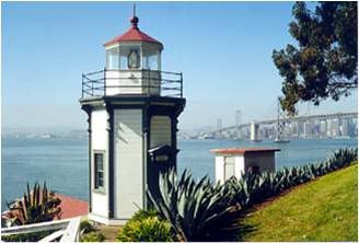
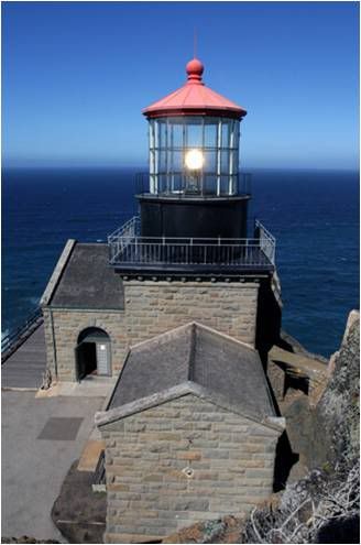
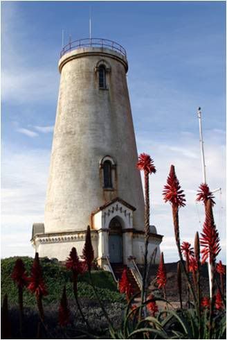
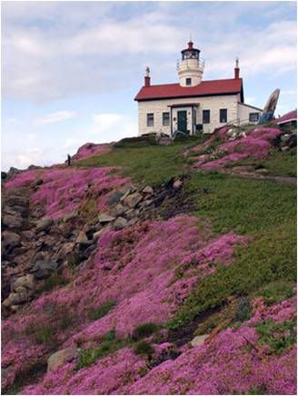
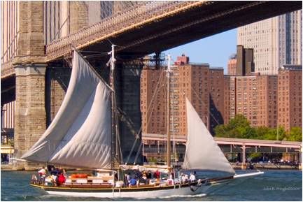
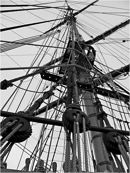
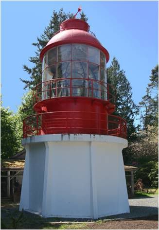
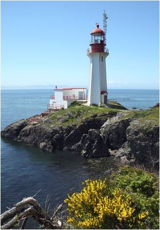
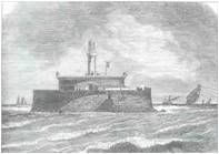
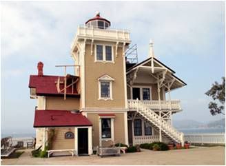
 As vessels enter the Golden Gate bound for the Sacramento or San Joaquin Rivers, they first pass through San Francisco Bay, and then head north through San Pablo Strait and into San Pablo Bay. Two-mile-wide San Pablo Strait is defined by Point San Pablo to the southeast and Point San Pedro to the northwest. In 1870, the Lighthouse Board requested that a lighthouse and fog signal be established at or near Point San Pablo to guide the many steamers and sailing vessels passing through the strait. On March 3, 1871, an appropriation of $20,000 was set aside by Congress for the station.
The government attempted to purchase a tract of land on Point San Pablo, but could not come to terms with the landowners. The government’s sole recourse was to file suit in the local courts, and condemnation proceedings began in July of 1831. A jury decided that a sum of $4,000 was a fair price for the desired 12.8 acres on the point, but the landowners were not satisfied and appealed the verdict to the California Supreme Court. When the appeal was delayed, anxious boats captains sent a petition to the lighthouse inspector in San Francisco suggesting that the lighthouse be built on East Brother Island, which was already owned by the government.
The Brothers (East and West Brother Island) lie roughly 1,000 feet off Point San Pablo, and they, along with the Sisters on the opposite side of the strait, had been reserved for military purposes by order of President Andrew Johnson in 1867. The government decided to end the court battle for property on Point San Pablo, as the Secretary of War agreed that East Brother Island could be used for a lighthouse under the proviso “that it shall give way to fortifications whenever it shall be required for that purpose.”
As vessels enter the Golden Gate bound for the Sacramento or San Joaquin Rivers, they first pass through San Francisco Bay, and then head north through San Pablo Strait and into San Pablo Bay. Two-mile-wide San Pablo Strait is defined by Point San Pablo to the southeast and Point San Pedro to the northwest. In 1870, the Lighthouse Board requested that a lighthouse and fog signal be established at or near Point San Pablo to guide the many steamers and sailing vessels passing through the strait. On March 3, 1871, an appropriation of $20,000 was set aside by Congress for the station.
The government attempted to purchase a tract of land on Point San Pablo, but could not come to terms with the landowners. The government’s sole recourse was to file suit in the local courts, and condemnation proceedings began in July of 1831. A jury decided that a sum of $4,000 was a fair price for the desired 12.8 acres on the point, but the landowners were not satisfied and appealed the verdict to the California Supreme Court. When the appeal was delayed, anxious boats captains sent a petition to the lighthouse inspector in San Francisco suggesting that the lighthouse be built on East Brother Island, which was already owned by the government.
The Brothers (East and West Brother Island) lie roughly 1,000 feet off Point San Pablo, and they, along with the Sisters on the opposite side of the strait, had been reserved for military purposes by order of President Andrew Johnson in 1867. The government decided to end the court battle for property on Point San Pablo, as the Secretary of War agreed that East Brother Island could be used for a lighthouse under the proviso “that it shall give way to fortifications whenever it shall be required for that purpose.”
Photo Text & Copyright www.Lighthousefriends.com